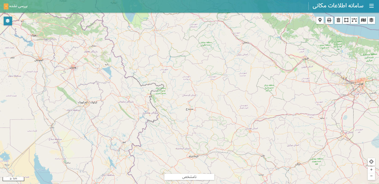
What is KARASOFT spatial information system?
KARASOFT's spatial information system is a web-based WebGIS system that is mostly used to collect spatial information with special access. This system allows field professionals to prepare, store, update, maintain and analyze geographic information.


Features of KARASOFT:
- Customizing the display of geographic information (cartography)
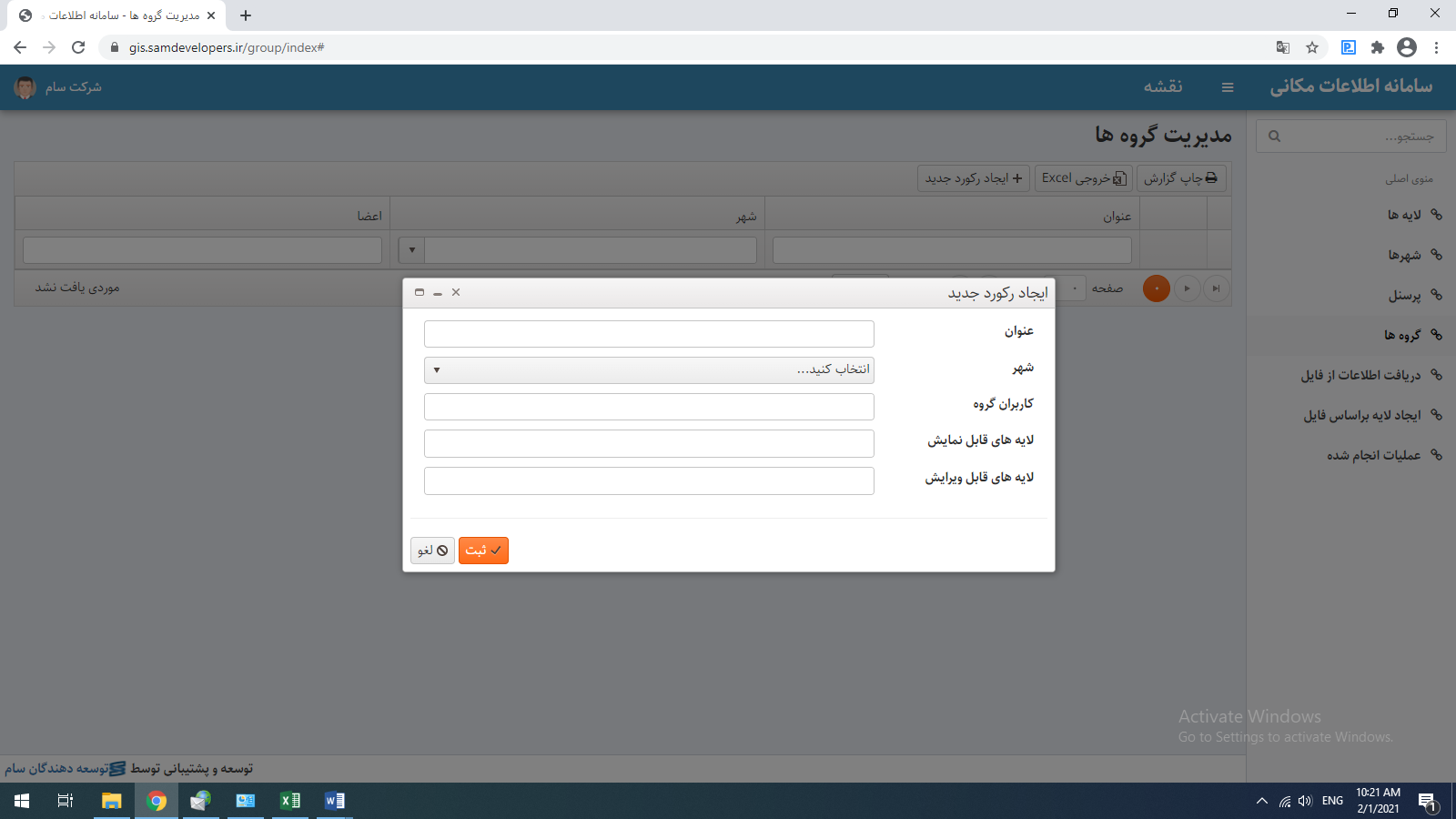
- Manage users and set access for user groups
- Log recording facilities in all stages to increase system security and report users' performance
- Use and efficiency of the OGC standard
- Providing information based on the WMS standard
- Providing information based on the WFS standard
- Selection of editing scope when determining group access
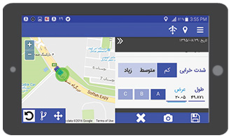
- Drawing complications by inserting exact coordinates of points
- Drawing line and polygon features by inserting the coordinates of the starting point, determining the angle and length of the line
- Change angles, resize, move complication, rotate complication, delete complication
- The ability to attach various documents and files to the desired effects
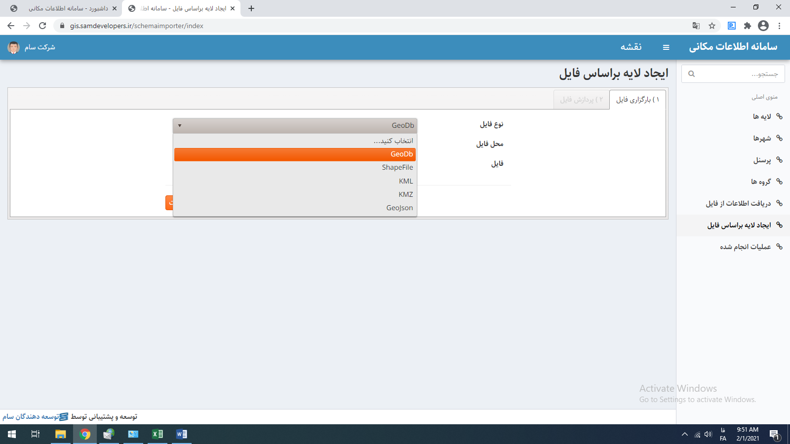
- Support for XLSX, shape file, kml, GeoJson, GDB formats
- Ability to import and export layers
- The possibility of communicating with other existing databases of the company if the web service is provided
Manage users and access levels
The issue of security is of particular importance in any category, and preserving the health of information is one of the demands of every organization. In a service that deals with information that is the vital nutrition of the organization, the security and level of access of users to the system can be the most important issue. In this system, the management of users and user groups and different accesses are foreseen.
Search for descriptive information
Simple and advanced information search with the ability to search all information fields and use logical operators (including a text, start with, equal to, greater than, etc.), as well as create nested conditions with the ability to create combinations and order
Printing subsystem
- The possibility of defining the format of printing location information on the page
- The possibility of printing multiple layers of information in map format
- The possibility of inserting and managing the resolution of the underlying map
- Ability to draw point, line and polygon complex online
- Ability to insert text in the desired box